Connect with us

Geography

The Geography Behind Natural Disasters

Published

on

0%

The Geography Behind Natural Disasters

1 / 10

What river’s floodplain makes it prone to flooding in China?

Next Question

2 / 10

What US city’s coastal location risks storm surges?

Next Question

3 / 10

What volcanic island nation lies on a tectonic hotspot?

Next Question

4 / 10

What Caribbean nation is highly vulnerable to hurricanes?

Next Question

5 / 10

What desert region faces rare but deadly flash floods?

Next Question

6 / 10

What continent has the most flood-prone river deltas?

Next Question

7 / 10

What mountain range’s plate collisions cause frequent earthquakes?

Next Question

8 / 10

What ocean basin sees hurricanes called typhoons in its western part?

Next Question

9 / 10

What US state is most prone to tornadoes due to its flat plains?

Next Question

10 / 10

What region is called the Ring of Fire for its earthquake activity?

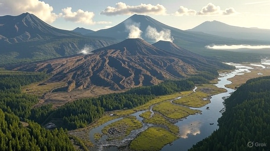
Did you know that the Pacific Ring of Fire is home to over 75% of the world’s volcanoes and is a major hotspot for earthquakes?

This horseshoe-shaped region, spanning 40,000 kilometers, outlines the edges of the Pacific Ocean and encompasses countries like the United States, Chile, Japan, and Indonesia.

The Ring of Fire is a direct result of plate tectonics, where the Pacific Plate and several smaller plates meet, shift, and often collide.

These movements are responsible for frequent seismic activity, making areas within the Ring particularly prone to natural disasters, such as volcanic eruptions and tsunamis.

Understanding this dynamic geography not only helps in predicting these natural events but also aids in better preparation and response strategies for affected communities.

How did you do on the quiz? Share your results and thoughts in the comments below!

Advertisement
Advertisement
Click to comment

Leave a Reply

Your email address will not be published. Required fields are marked *